Sea to the West
A pictorial history of the coast of Cumbria seen through a pinhole camera.
The county of Cumbria, in the North West corner of England, was officially created only in 1974. Its coast extends to some 180 miles of often heavily-indented coastline, and now comprises parts of Lancashire, the former counties of Westmorland and Cumberland and even, from long ago, part of the lawless “Debatable Lands” in the then border country between England and Scotland.
The activities of the invading Romans, Scots and others, the influence of Furness Abbey and its entrepreneurial monks, extensive smuggling, the early pre-eminence of ship-building and shipping, combined with the early industrialization of West Cumberland, have given the Cumbrian Coast a rich and fascinating history.
The pictures below, presented in geographical sequence from Silverdale in the south to the Solway Firth in the north, form a photographic essay of this unique coast by highlighting places and events of historical note and importance. The images were originated on traditional film in a wooden panoramic wide-angle pinhole camera which characteristically gives a degree of distortion and softness to the images.
The title of the collection recognises the poem of the same name by the late Cumbrian poet, Norman Nicholson of Millom, to whom due acknowledgement is made.

Holgates
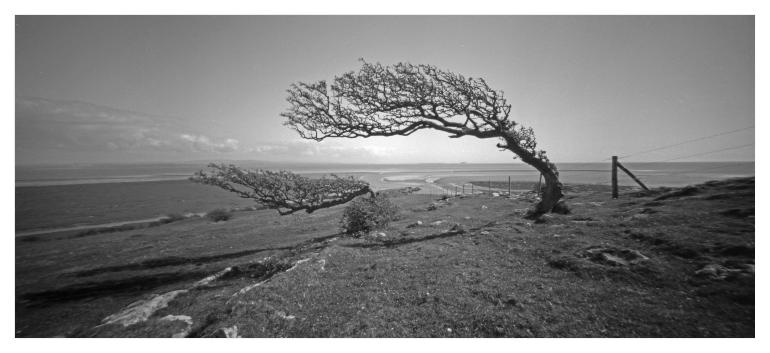
The view from just north of Silverdale in Lancashire looking over the former boundary between Lancashire and Westmorland which ceased to exist in 1974 when it became the border between Lancashire and Cumbria.

Far Arnside
Looking along the former Lancashire/Westmorland boundary to the treacherous expanse of Morecambe Bay. In February 2004, 23 Chinese illegal immigrants died off Warton Sands in a night-time cockling tragedy when caught by the incoming tide. The gangmaster was subsequently sentenced to 14 years in jail. Changes to the law governing cockling in the area followed this tragedy.
Humphrey Head is an exposed whale-back limestone outcrop, most of which is a nature reserve managed by Cumbria Wildlife Trust. Windblown hawthorn trees survive on the Head which is said to be where the last wolf in England was killed in the late-14th century. Below the Head, at sea level, was a small spring reputed to have had therapeutic properties.

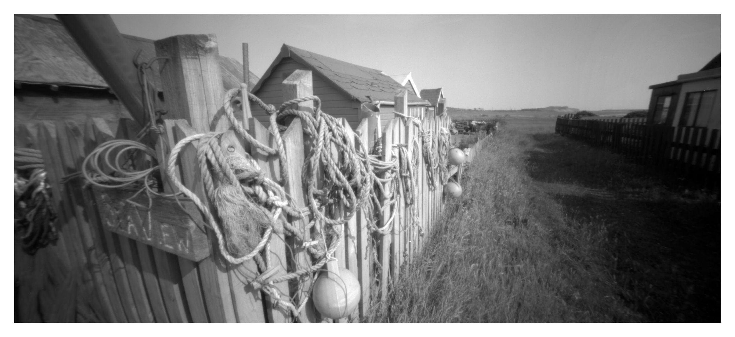
Sandside
Fishermen have been gathering shellfish in Morecambe Bay for centuries and some Flookburgh families can trace their involvement back to the 1750s. Although closure of the cockle beds destroyed an historic industry and the increased regulation of fishing for shellfish after the 2004 cockling tragedy made life more difficult for local fishermen, hand fishing for mussels and shrimps using tractors and trailers out in the Bay still continues.
Lowsy Point sits on the southern tip of the Sandscale Haws nature reserve owned by the National Trust. Opposite North Walney, it comprises early 20th Century black hut-type cabins made out of old boats and recycled houses, as well as more modern chalets. During World War II, a number of squat pill box fortifications were erected along the coast here together with one of the Navy’s many coastal decoy sites to help defend Barrow which was often the target of Luftwaffe bombing raids.
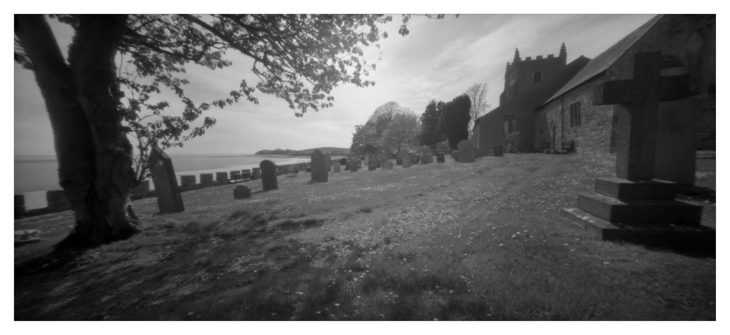
Located adjacent to the shore, the church at Aldingham is dedicated to St. Cuthbert and dates back to the mid-12th Century. The monks of Lindisfarne, fleeing to Ireland with St. Cuthbert’s coffin, rested here. A 12th Century motte stands in the background overlooking Morecambe Bay.
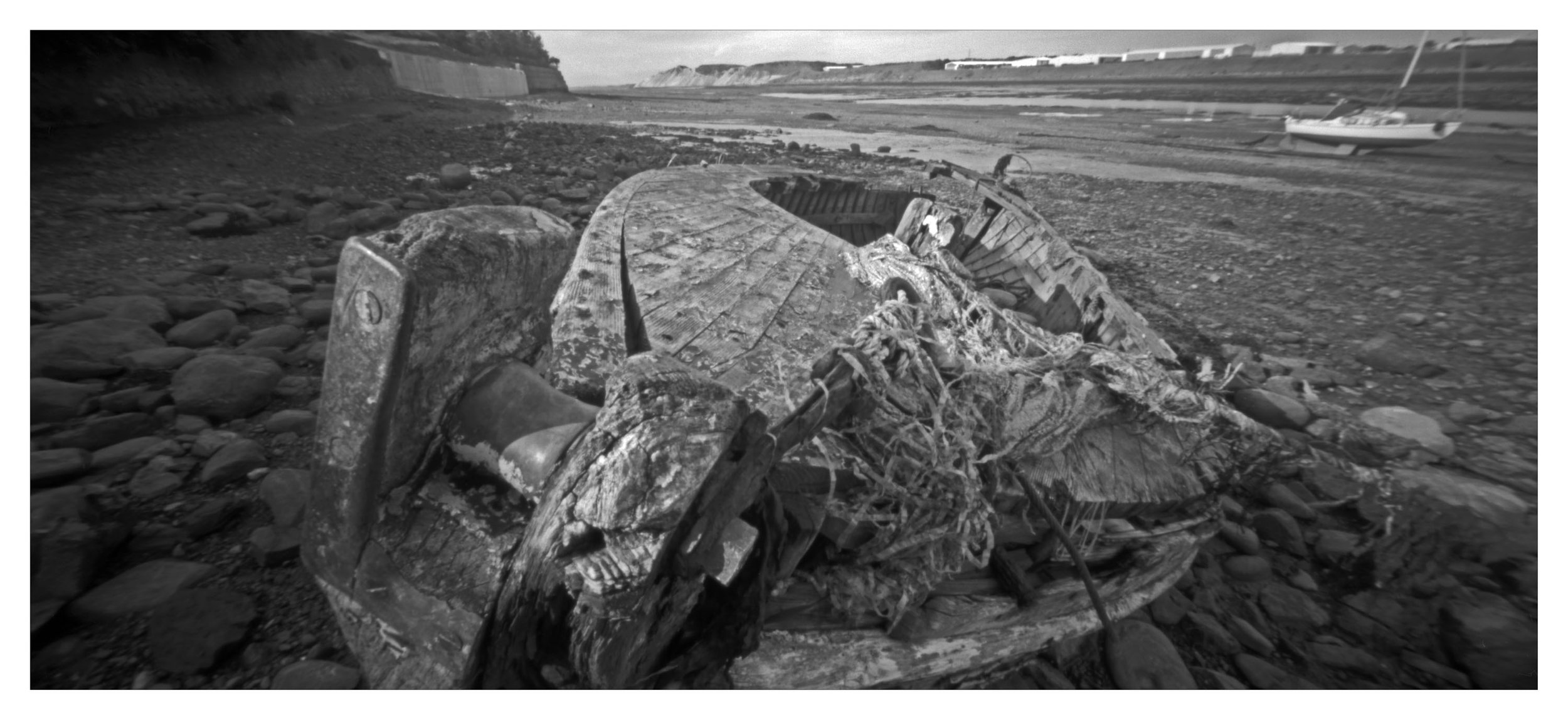
The North Walney Channel dries out at low tide. It is crossed by a footpath and small wooden footbridge giving access to the mainland and the former sites of long since demolished heavy industrial buildings. At this place in 1652, George Fox, founder of the Quakers, was attacked when visiting James Lancaster, one of his converts, who lived in North Scale.

The Battle of Annaside Beach on 18th August 1838 saw Annaside villagers ambush a raiding innkeeper and his followers from neighbouring Ravenglass who had been systematically removing cobbles from Annaside beach. The stones were much sought after for building purposes further afield and their removal had resulted in local properties and roads being washed away by the sea. Although injuries were suffered by men and women of both sides, no loss of life was reported.

Piel Castle on Piel Island seen from mid-channel at low tide near South Walney. The castle was built for the Abbot of Furness Abbey in the early 14th Century. Ownership of the castle passed through numerous hands over the centuries until it was gifted in 1920 by the Duke of Buccleuch to Barrow local authority. The castle is a Grade I listed building now managed by English Heritage.